
Town of Islip ZIP Directory Coverage
The 1964 Suffolk County catalog documents 13 Town of Islip post-office entries. It is a dated municipal and postal snapshot, not a promise that each current delivery boundary is unchanged. The table preserves only those documented entries. Use it to separate the town’s municipal geography from its historical post-office labels, then verify an individual address through USPS before relying on a postal match.
| ZIP | Areas Covered | Post Office | Notes |
|---|---|---|---|
| 11722 | Central Islip | Central Islip, East Suffolk Avenue | Town hamlet and post office; confirm current delivery with USPS |
| 11730 | East Islip | East Islip, 11 Greenwood Avenue | Post-office label may not equal municipal boundary |
| 11734 | Fair Harbor | Great South Beach | Fire Island community and seasonal island geography |
| 11739 | Great River | Great River, River Road | Town community and post office |
| 11741 | Holbrook | Holbrook, Patchogue Road and Grundy Avenue | Town community and post office |
| 11751 | Islip | Islip, 309 Main Street | Current USPS Islip office is documented separately |
| 11752 | Islip Terrace | Islip Terrace, Carleton Avenue | Town hamlet and post office |
| 11769 | Oakdale | Oakdale, Montauk Highway | Town community and post office |
| 11770 | Ocean Beach | Great South Beach | Fire Island community and post office |
| 11781 | Saltaire | Great South Beach | Fire Island community and post office |
| 11782 | Sayville | Sayville, 130 Green Avenue | Town community and post office |
| 11795 | West Islip | West Islip, 286 Union Street | Town community and post office |
| 11796 | West Sayville | West Sayville, Main Street | Town community and post office |
Additional regional postal names appear around Islip, including 11702, 11706, 11716, 11717, 11718, 11729, 11742, 11749, 11760, and 11772. Official research did not establish a complete current Town-wide coverage list for them. Treat those as unverified associated postal areas, not additions to the documented 13-entry catalog.
Town of Islip Postal Geography
Town of Islip is a Suffolk County town made up of mainland hamlets and Fire Island communities, not one incorporated city center. Bayport, Bohemia, Brentwood, Central Islip, East Islip, Great River, Holbrook, Holtsville, Islip, Islip Terrace, Oakdale, Sayville, and West Sayville are part of the town’s historical area, among others. A mailing label can use a post-office name while the parcel, election district, and Town records use another geographic description.
Keep three values together during a search: the Town or hamlet, the USPS city or post-office label, and the postal code. Add the County Clerk’s tax-map identifiers when a parcel is involved. This is especially useful in a large town where shoreline, airport, island, and older village contexts overlap. The 1964 County catalog is valuable precisely because it records post offices and civic labels as they were then, rather than flattening every address into one present-day place name.
USPS for Town of Islip ZIPs
USPS ZIP Lookup is the delivery validator. It offers address lookup, City and State lookup, and Cities by ZIP modes. For an address, the company field is optional; street address is required, and apartment or suite, city, state, and ZIP fields help refine the match. City and State mode uses those two values. Cities by ZIP uses the five-digit value. Each mode has a Find action.
| Address lookup | Company is optional; street address is required. Add apartment or suite, city, state, and ZIP when available. |
|---|---|
| City and State | Enter city and state to retrieve postal place information. |
| Cities by ZIP | Enter the five-digit ZIP to retrieve associated city labels. |
| Find | Runs the selected USPS lookup mode. |
The USPS Islip Post Office is at 309 Main Street Unit 3, Islip, NY 11751-3453. Listed retail hours are Monday through Friday, 9 a.m. to 5 p.m., and Saturday, 9 a.m. to 1 p.m. The local phone is 631-581-7931; the national USPS number is 1-800-275-8777. USPS warns that a postal result does not confirm a person or company at an address.
See the USPS address, city, and postal-code lookup before using a catalog label for current delivery.
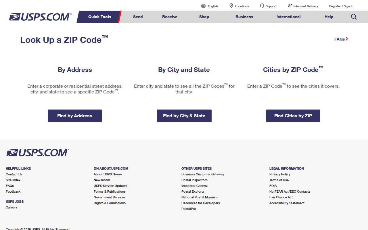
The USPS screen shows why a complete address check is more useful than treating a postal area as a household or person search.
Town of Islip ZIP Polygon Map
The Suffolk County GIS service has a ZIP polygon layer for map context. Its ZIP FeatureServer exposes OBJECTID, ZIPCODE, NAME, POP2018, POP18SQMI, SQMI, shape area, and shape length fields, and the boundary layer is identified as a December 2014 vintage. That makes the service useful for showing an approximate mapped area and running a documented query or statistic. It is not a substitute for a live delivery answer.
The County GIS Viewer also carries town boundaries, hamlets, village boundaries, street and address labels, parcels, districts, and building footprints. Pair a mapped polygon with the parcel and municipal boundary layers before drawing a conclusion about the Town. A map’s population field describes the GIS feature, not a list of people at addresses inside it.
Open the Suffolk ZIP polygon service to inspect the documented fields and vintage.
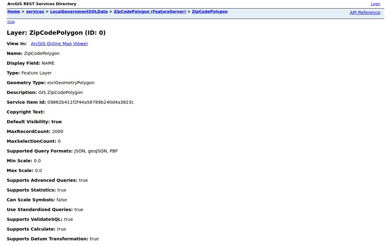
The feature-service fields support geographic comparison, while USPS remains the final check for a current delivery address.
Note: The December 2014 polygon vintage is a mapping reference, not confirmation that an address has the same delivery area today.
Finding Town of Islip ZIP Records
A postal value narrows an address search, not a roster of residents. The Suffolk County Clerk address-to-tax-map finder accepts ZIP Code along with house number and street name. Its results can return group, name, address, city, state, ZIP, district, section, block, and lot fields. The GIS viewer can place that result against postal and parcel layers. The Town Assessor provides a roll and property-search handoff, but official research did not expose a verified ZIP filter on the live Assessor form.
- Verify the delivery form through USPS with the fullest address available.
- Use the County Clerk address-to-tax-map finder with house number, street, and the postal value when known.
- Save the district, section, block, and lot, then use the GIS parcel and polygon layers for context.
- Check the Town Assessor roll or property handoff for the specific parcel, without claiming that it supports a ZIP-wide browse.
- Use the state voter lookup only for its individual verification workflow, not as a ZIP-wide voter list.
The NYS Voter Lookup uses county, address, date of birth, and a ZIP control in its dynamic process, but it does not provide a ZIP-wide public voter browse. Voter records are supervised-access records under Election Law §3-220, with identifying numbers and protected information withheld. Once the postal area is narrowed to a street and parcel, the detailed address trail belongs in the Town of Islip street directory.
Town of Islip ZIP Directory Limits
Myth: an assessor record filtered by postal area would identify everyone who lives there. The Assessor maintains more than 99,000 parcels and updates ownership after deed transfers, but owner-of-record and mailing address are not proof of household occupancy. The research confirms individual property and published assessment-roll paths. It does not confirm a public owner-name field or a postal-area filter in the exact live interface.
A parcel can show a situs address, which is the physical location, and a mailing address, where tax correspondence goes. Those are different facts. The official GIS Tax Parcel Owners table is an owner-associated path, while the Town assessment handoff needs a visual interface check before any claim about its filters or result fields. Use the property record to identify a parcel or owner clue, then verify the question with the proper custodian.
Review the Town of Islip assessment-roll handoff before using its current tools.
The assessment entry point is useful for parcel research, but the confirmed material does not establish a ZIP-wide public resident or owner search.
Town of Islip Postal Boundaries
A ZIP Code is a USPS delivery geography, not a municipal boundary. An address can carry an Islip postal label while its parcel or hamlet context differs, and a Town parcel can use a neighboring post-office label. Fire Island makes the distinction more visible because Great South Beach community names, seasonal access, and mainland Town governance overlap. Do not call a postal area a neighborhood or use a delivery result as a resident list.
- ZIP
- A postal delivery-area identifier used by USPS. It does not define a Town boundary or prove who receives mail at an address.
- ZIP+4
- A more detailed USPS delivery code that narrows delivery routing beyond the five-digit base.
- PO box ZIP
- A code used for post-office-box delivery. It should not be treated as a physical parcel boundary.
- Unique ZIP
- A USPS code assigned to one organization or delivery use. Official research did not identify a confirmed Town example.
- Carrier route
- A USPS delivery-route grouping. It is not a Town district, a household roster, or proof of residency.
Note: Compare the municipality, hamlet, post-office label, and tax-map record before making a geographic claim about an Islip address.
Islip ZIPs on Fire Island
Fair Harbor, Ocean Beach, and Saltaire appear in the 1964 catalog under Great South Beach with 11734, 11770, and 11781. These entries show why the town, hamlet, post office, and postal values need separate columns. Island communities sit within Town of Islip government geography while their postal labels and access conditions tell a different operational story. A mainland-style place assumption can misdirect an address search.
For historical work, pair the dated catalog with directories, maps, and a confirmed delivery lookup. The Town’s physical character includes mainland suburban hamlets, the Great South Bay shoreline, Fire Island communities, airport corridors, and older village centers. A name or address should retain its date because the useful place label can vary across a newspaper, directory, census, parcel map, and USPS result.
Town of Islip ZIP Directory Fallbacks
When online tools do not settle an address, use the channel that owns the question. USPS stations can verify delivery format by counter or phone. Town of Islip and Suffolk County GIS can address a specific mapping question. The County Clerk’s address and tax-map tools bridge a street address to district, section, block, and lot. Libraries, historical directories, Sanborn maps, atlases, and the 1964 County catalog can preserve an older postal label that no current screen explains.
For a missing public polygon or addressing record, ask Town or County GIS for the specific item through the New York Freedom of Information Law, Public Officers Law Article 6. Frame the request around the record or map needed, not a broad request for people at a postal area. The research found no official chronology for a full Islip postal split or realignment, so no such year should be asserted without a custodian record. A deed’s legal description, the County Clerk house-history method, and historic maps remain the bridge for an older address.